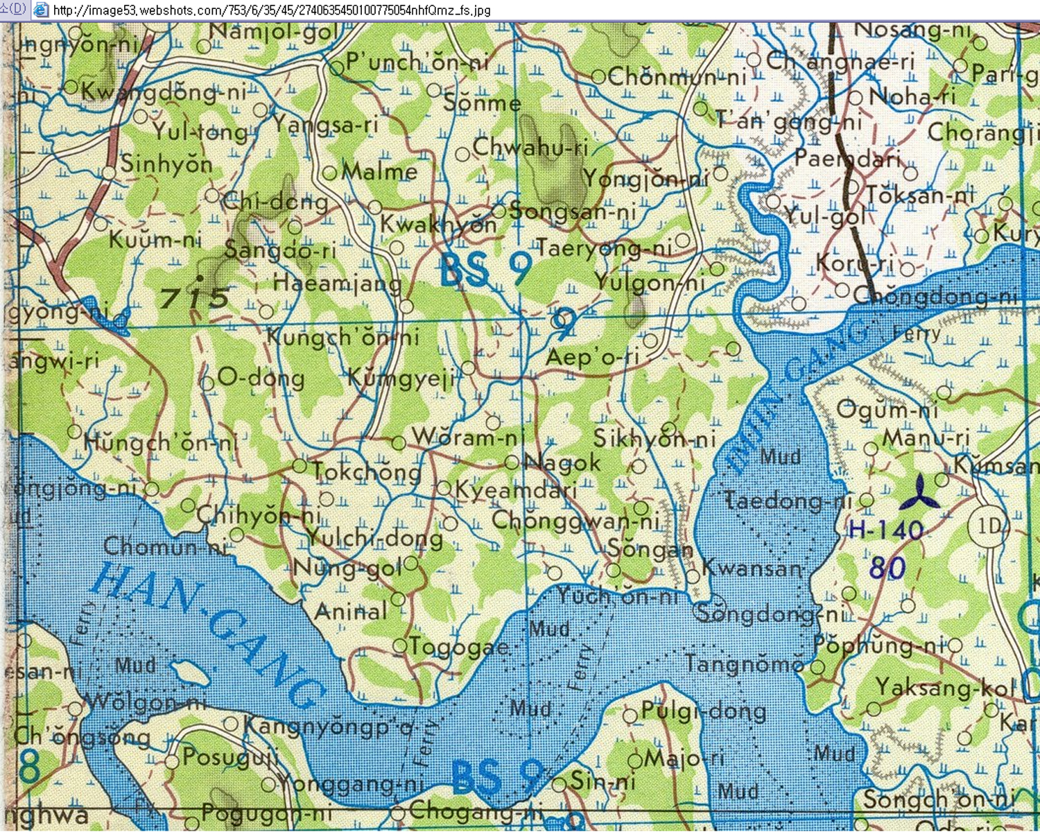
한강하구관산포- 1970미공군항공지도 이시우 2013/06/01 576

http://news.webshots.com/photo/2740635450100775054nhfQmz
이것은 1970년 미공군지원대인 72포병연대 2대대 S-3사무실왼쪽에 있던 1970미공군항공지도의 북쪽부분이다.등원리아래 비무장지대를 보라. H139헬기장에 2대대 72포병연대가 있다.
This is the “north half” of a section of a 1970 USAF Aeronautical Map left at 2nd Bn 72nd Armored Regiment S-3 Office by USAF Support Personnel in 1970. Shows DMZ at north down to Tungwon-ni. 2nd Bn 72nd Armored at helipad “H139″.